The Netherlands seen through satellites
Satellites make the Netherlands a little smarter, safer and more sustainable every day. In this exhibition, you will discover for yourself just how powerful and indispensable they are! Using real-time data from the Dutch government's Satellite Data Portal, you can zoom in on the Netherlands and learn about its diverse applications. This exhibition was created in collaboration with the Netherlands Space Agency (NLSA).
See your home from space
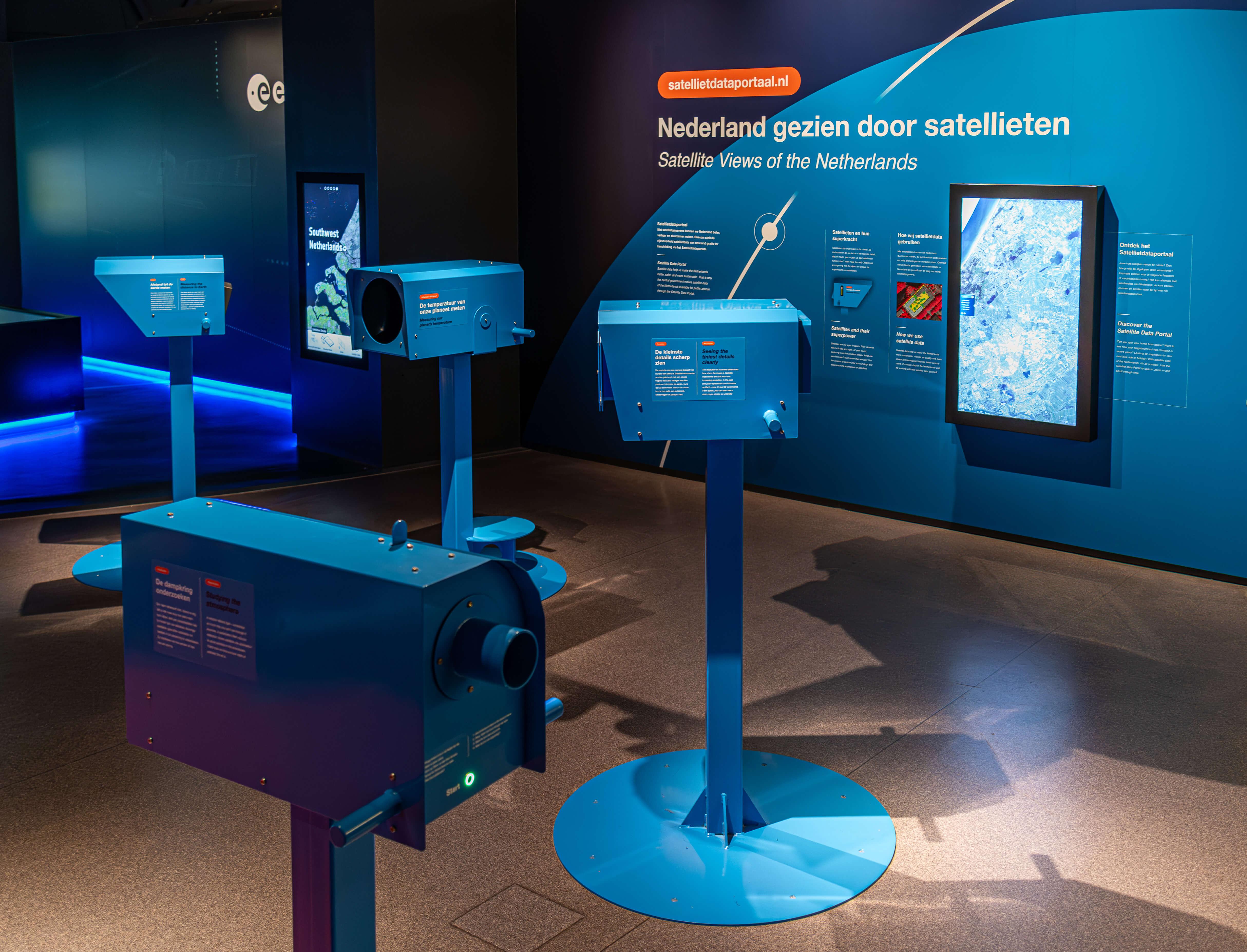
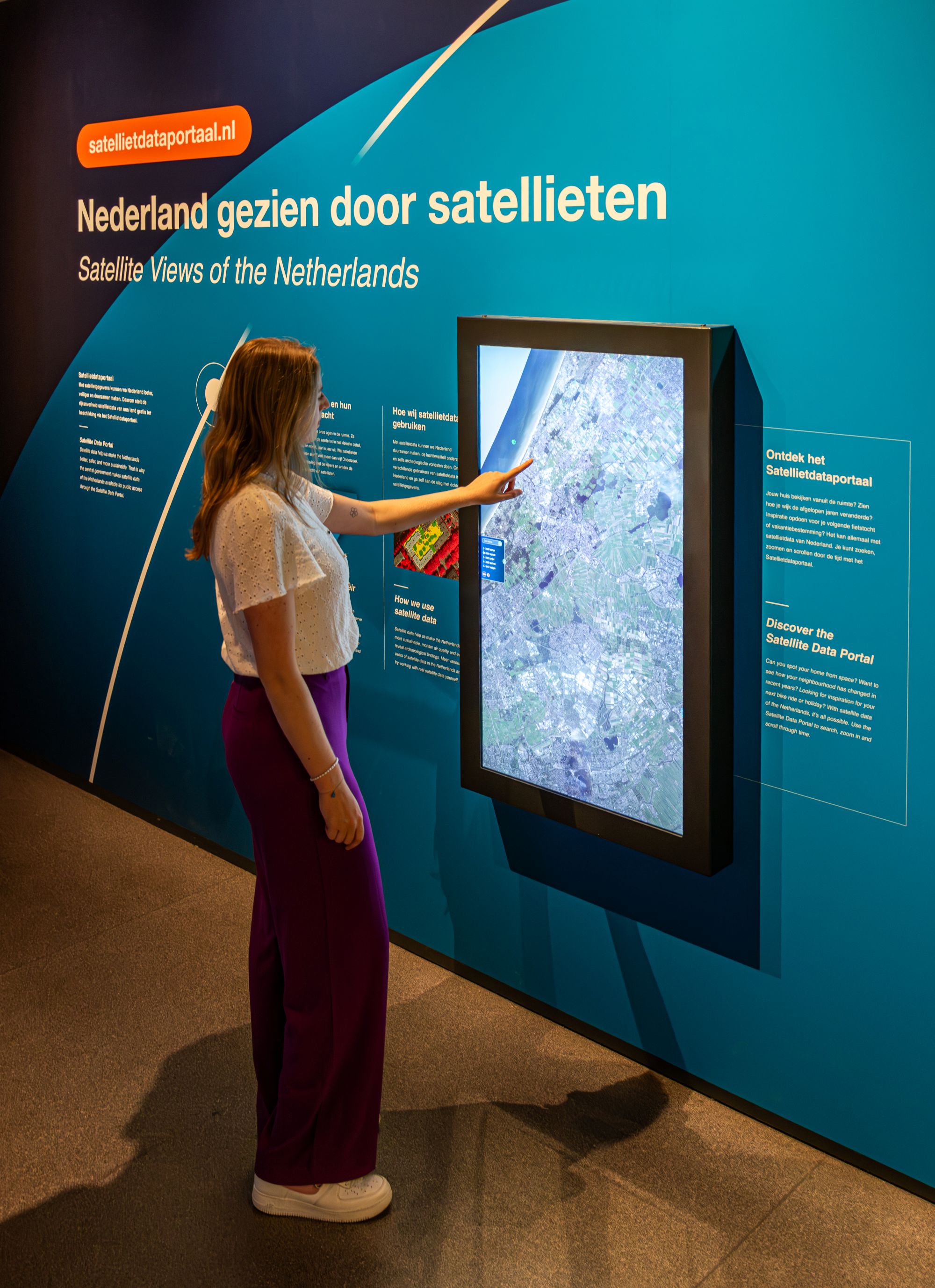
In the exhibition, several Dutch experts explain how they apply satellite data in their respective fields. Then, try it out yourself on an interactive screen. Complete tasks such as tracking down archaeological finds, analyzing air quality and making residential areas more sustainable. The exhibition also features several "binoculars," which symbolize the eyes of satellites. With these, you can perceive heat, see how sharp a satellite's vision is and measure distances. A large screen also displays the most recent satellite data of the Netherlands, where you can search for locations across the country, including your own home.


.jpg)


About the Satellite Data Portal
All data in the exhibition comes from the Dutch government's Satellite Data Portal. The Netherlands Space Agency (NLSA) makes this information available to everyone in the Netherlands free of charge. Space Expo's new exhibition is a museum adaptation of the portal, allowing visitors to experience the power of satellites in an accessible way.
The Netherlands seen through satellites was made possible in part by the Netherlands Space Agency. Creative design: Ontwerp77 | Technical design and construction: Flink museale projecten | Design and realization of interactive installations: Kiss the Frog | Videos: Space Expo and Sander Koenen
Discover more exhibitions
.jpg)
.png)

